GPS & GIS Utility Mapping in Texas
Every located line captured with GPS and delivered as PDF maps and KMZ files for your project record.
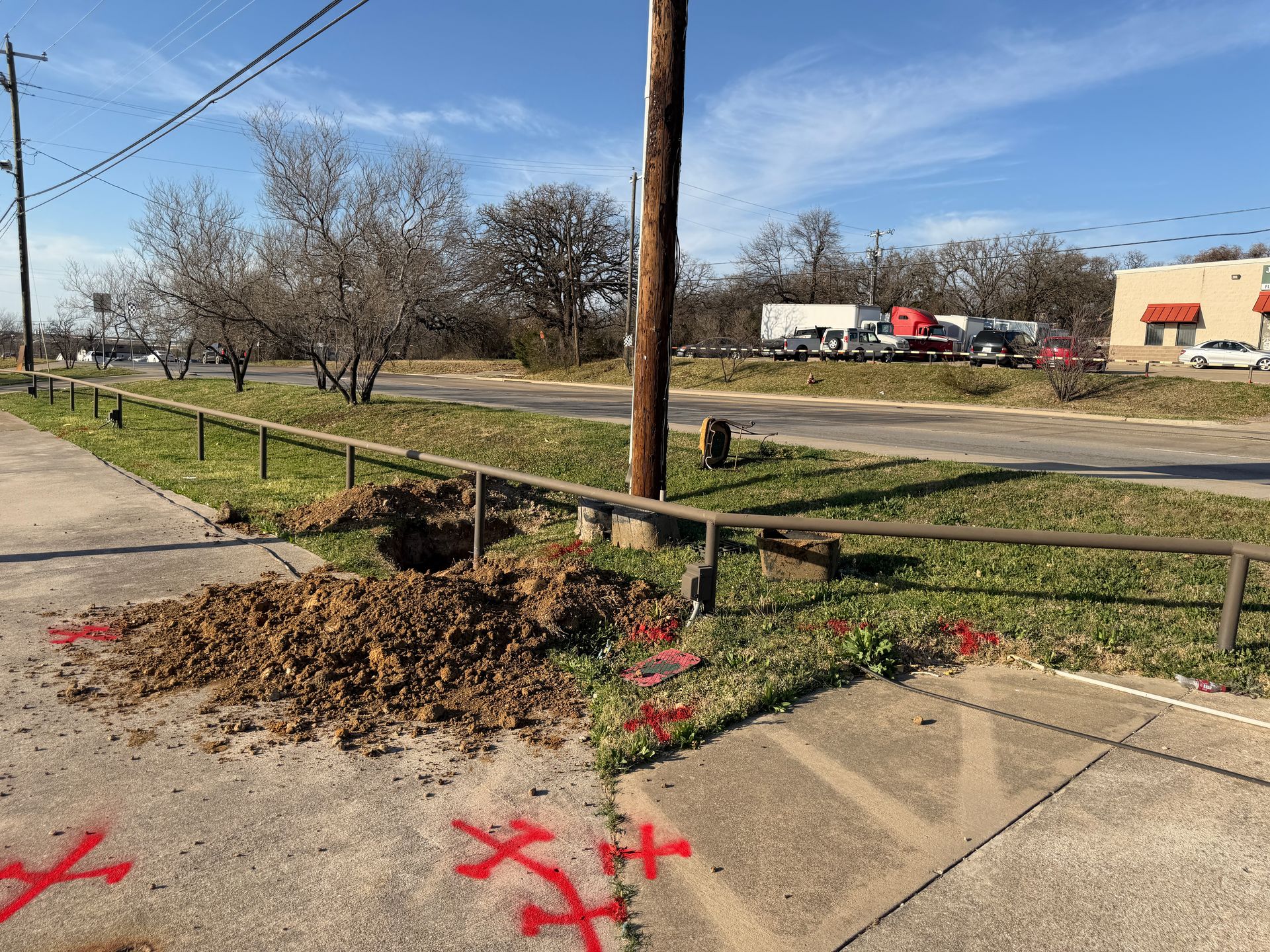
Records that outlast the paint
Field paint fades and gets dug up. GPS-referenced data, PDF utility maps and KMZ exports keep located lines on file for designers, future crews and the owner.
Towns we serve for gps & gis utility mapping
Major metros
Central Texas
Related services
Get a quote for gps & gis utility mapping
Call or email with your location and scope, and we'll get a technician scheduled.